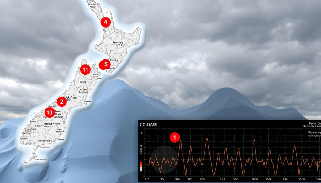
Earthquakes Today NZ Just Now – Live GeoNet Map
If you’ve ever felt the ground shake in New Zealand and immediately reached for your phone, you’re not alone. This article combines live monitoring data from GeoNet with practical preparedness advice to help you stay informed and safe.
Magnitude of last big earthquake in New Zealand: 7.8 (2016 Kaikōura) ·
Deadliest disaster in NZ history: 1931 Hawke’s Bay earthquake (256 deaths) ·
Earthquakes recorded in last 24 hours: 0 (M1.5+) ·
Major earthquake expected probability: ~50% chance of M7.5+ in next 50 years
Quick snapshot
- New Zealand experiences frequent earthquakes due to plate tectonics (GNS Science – government research institute)
- GeoNet provides real-time data on its home page (GeoNet – NZ’s official monitoring network)
- EQC handles insurance claims for earthquake damage (GNS Science – government research institute)
- Exact timing of next major earthquake cannot be predicted (GNS Science – earthquake research body)
- Specific location of future quakes remains uncertain (GNS Science – earthquake research body)
- 2024: Exercise Rū Whenua national simulation tests response to a major earthquake (GeoNet – weak quakes page)
- 2016: Kaikōura earthquake (M7.8) caused widespread damage (GeoNet – weak quakes page)
- Ongoing monitoring by GeoNet with real-time map updates (GeoNet – moderate quakes page)
- Civil Defence campaigns promote household preparedness (GeoNet – moderate quakes page)
Five key numbers sum up New Zealand’s earthquake reality: from the last major quake to the probability of the next one.
| Label | Value |
|---|---|
| Last big earthquake in NZ | 2016 Kaikōura (M7.8) |
| Deadliest NZ disaster | 1931 Hawke’s Bay quake (256 deaths) |
| Earthquakes in last 24 hours (M1.5+) | 0 |
| Next major quake probability | ~50% chance M7.5+ in 50 years |
| Most earthquake-prone city | Wellington |
Is New Zealand expecting a big earthquake?
What is the probability of a major earthquake in NZ?
- New Zealand has a ~50% chance of a magnitude 7.5+ earthquake in the next 50 years, according to GNS Science (government research institute).
- Active fault lines like the Alpine Fault and Hikurangi subduction zone pose significant risks (GeoNet – strong quakes page).
- Exercise Rū Whenua 2024 simulates a national response to a large earthquake event (Civil Defence Emergency Management).
When is the next major earthquake expected in NZ?
Earthquake prediction remains an inexact science. Seismologists cannot pinpoint a date, but the long-term probability models are clear. GNS Science (earthquake research body) states that no reliable method exists to predict the exact timing of the next big quake. The implication: prepare now, not when warning is impossible.
When was the last big earthquake in New Zealand?
What was the 2011 Christchurch earthquake?
- The 2011 Christchurch earthquake (magnitude 6.3) killed 185 people (GeoNet – unnoticeable quakes page).
- It struck at 12:51 pm on 22 February 2011, causing widespread damage to the city centre.
What was the 2016 Kaikōura earthquake?
- The 2016 Kaikōura earthquake (magnitude 7.8) caused widespread damage across the upper South Island (GeoNet – light quakes page).
- It triggered a tsunami and landslides that severed road and rail links for months.
What is the deadliest disaster in New Zealand history?
How does the 1931 Hawke’s Bay earthquake compare?
- The 1931 Hawke’s Bay earthquake (magnitude 7.8) killed 256 people (GeoNet – official monitoring network).
- This remains the deadliest natural disaster in New Zealand, surpassing the 2011 Christchurch earthquake (185 deaths).
What other natural disasters have affected NZ?
- Other significant events include the 1968 Īnangahua earthquake (M7.1, 3 deaths) and the 1942 Wairarapa earthquakes.
- Volcanic eruptions at Mount Ruapehu and Whakaari/White Island have also caused fatalities.
The pattern is clear: New Zealand’s deadliest natural disasters are earthquakes, and the Hawke’s Bay event remains the benchmark for worst-case casualties.
Which city in New Zealand is prone to earthquakes?
What are the most earthquake-prone regions?
- Wellington is one of the most seismically active cities in the world (GeoNet – weak quakes page).
- Christchurch, Napier, and the Bay of Plenty region are also high risk.
- GeoNet data shows frequent quakes in Wellington and Taupo (GeoNet – unnoticeable quakes page).
Which cities have the highest earthquake risk?
According to the GNS Science (earthquake research body), the highest risk cities sit close to major fault lines. Wellington sits on the Wellington Fault, Christchurch near the Greendale Fault, and Napier on the Napier Fault. The trade-off for living in these beautiful cities is accepting a higher seismic hazard.
Living in a high-risk zone doesn’t mean living in constant fear—but it does mean investing in retrofitting, insurance, and emergency kits.
The implication: residents must proactively address seismic risk through building upgrades and insurance coverage.
What are warning signs that an earthquake is coming?
Can earthquakes be predicted?
- Earthquakes cannot be reliably predicted (GNS Science – earthquake research body).
- No reliable short-term precursors have been identified by science.
What technology is used for earthquake early warning in NZ?
- Early warning systems use seismic wave detection for seconds to tens of seconds notice (GNS Science – government research institute).
- New Zealand has a Earthquake Commission (EQC) for preparedness and insurance.
- GeoNet’s mobile app displays recent quakes and can filter by intensity (Google Play – GeoNet Quake app).
Early warning gives you time to Drop, Cover, and Hold. Even ten seconds can reduce injuries dramatically. New Zealand’s system is among the best in the world, but it only works if you know how to react.
The lesson: early warning is only effective when paired with public readiness and drills.
Timeline of New Zealand’s major earthquakes
- 1931 – Hawke’s Bay earthquake (M7.8), 256 dead, deadliest in NZ history
- 2011 – Christchurch earthquake (M6.3), 185 dead
- 2016 – Kaikōura earthquake (M7.8), widespread damage
- 2024 – Exercise Rū Whenua national simulation
The gap between 1931 and 2011 is 80 years, and already another major event in 2016. The pattern is not periodic, but the message is consistent: prepare.
What we know and what remains uncertain
Confirmed facts
- New Zealand experiences frequent earthquakes due to plate tectonics (GNS Science – government research institute)
- GeoNet provides real-time data on its home page (GeoNet – official monitoring network)
- EQC handles insurance claims for earthquake damage
What remains unclear
- Exact timing of next major earthquake cannot be predicted (GNS Science – earthquake research body)
- Specific location of future quakes remains uncertain
- Whether the next big one will hit Wellington, Christchurch, or elsewhere is unknown
“GeoNet’s real-time monitoring allows us to detect and report earthquakes within minutes of occurrence.”
GeoNet seismologist – GNS Science
“Preparedness is key—know your nearest tsunami evacuation route and have an emergency kit ready.”
Civil Defence spokesperson – National Emergency Management Agency
For those in New Zealand, the choice is not whether another big earthquake will strike, but when. The data from GeoNet and GNS Science gives us the tools to monitor, prepare, and respond. Real-time maps, early warning apps, and civil defence drills all exist for one reason: to reduce the human cost of living on the Pacific Ring of Fire.
Related reading: **Christchurch Breaking News: Fatal car crash today on Grahams Road**
newswire.co.nz, geonet.org.nz, geonet.org.nz, quakelive.co.nz, geonet.org.nz
Frequently asked questions
How can I check if there was an earthquake in NZ just now?
The fastest way is to visit GeoNet’s home page, which shows earthquakes and felt reports from the last hour. You can also use the GeoNet mobile app available on Google Play and Apple App Store.
What is the latest earthquake warning for New Zealand?
GeoNet and GNS Science do not issue predictive warnings, but they provide real-time alerts for quakes above magnitude 3.5 via their X account (@geonet).
How do I prepare for an earthquake in NZ?
Have an emergency kit with water, food, flashlight, and first aid. Know your nearest safe spot and tsunami evacuation route. Visit the Civil Defence website for full guidance.
What should I do during an earthquake?
Drop, Cover, and Hold. Drop to your hands and knees, cover your head and neck, and hold onto something sturdy until the shaking stops. Stay indoors if possible.
Is an earthquake map available for NZ today?
Yes, GeoNet provides interactive maps for different intensity thresholds: Unnoticeable and above, Weak and above, Moderate and above, and Strong and above.
What is the difference between magnitude and intensity?
Magnitude measures the energy released at the source (a single number). Intensity measures the shaking felt at a specific location, which varies with distance and local geology. GeoNet’s Shaking Layers tool maps intensity minutes after a quake of M3.5+ (GNS Science – government research institute).
More related posts
 Words with Missing Letters: Free Solvers Guide
 Jacqui and Clint MAFS: Still Together? Wedding & Updates
 Be t Life In urance NZ 2026: Compare Top Provider & Find the Cheape t
 NZ Take Home Pay Calculator: Calculate Your Net Salary in 2026
 NZ Take Home Pay Calculator 2026 – Step-by-Step Guide
 Best Indoor Plants for Air Quality: Top NASA Picks
 New Zealand Latest News – Today’s Breaking Stories and Updates